Fremont National Recreation Trail
A remote trail traverses the little-known Gearhart Mountains of southern Oregon.


One of the lesser-used trails in the United States National Recreation Trails system is named for explorer John C. Frémont, who came through this area in 1843. From its western beginning at Yamsay Mountain, south of Silver Lake, Oregon, the Fremont Trail stretches for some 130 miles to the southeast.
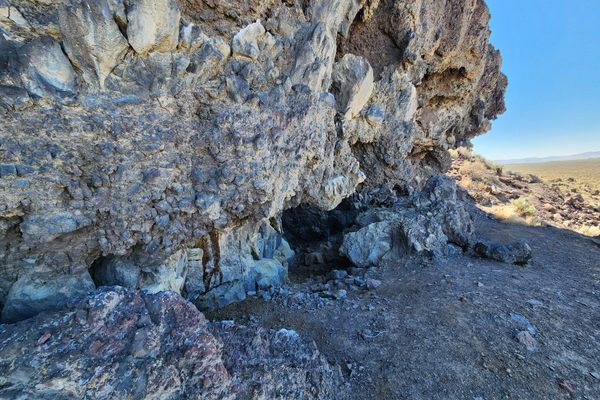
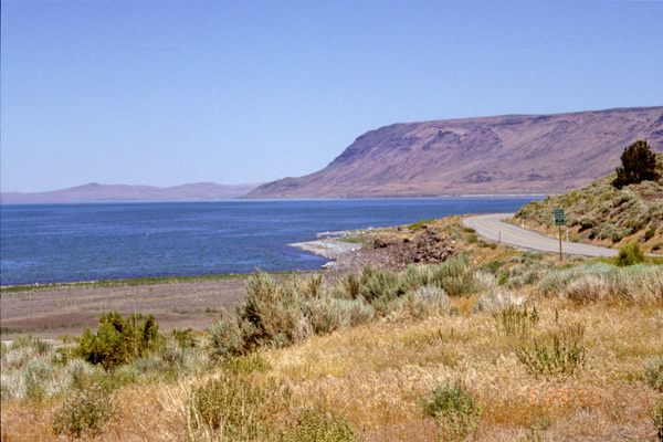
For the first hundred miles or so it traverses the Gearhart Mountains. About two-thirds of the way from the western end the trail crosses the landlocked Chewaucan (pronounced “SHEE-wah-cuhn”) River, which rises in the southern Gearharts and flows north. This crossing is on a steel footbridge. From the Cox Pass trailhead, at the eastern end of the Gearhart Mountains, there is a gap of about six miles, where the trail crosses the valley containing US-395 to the Warner Mountains. Hikers can use the vehicle roads here. The hiking trail picks up again at Crooked Creek, where it runs directly east into the Warners. Here it joins the Crane Mountain Trail, coming from the south. The Fremont Trail itself heads generally northward from the intersection of the Crane Mountain Trail to end at Vee Lake, a small reservoir in the Warner Mountains just east of the Abert Rim.
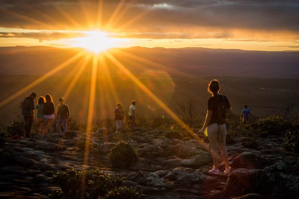
The trail stays high, dropping down only where necessary to cross drainages. It even crosses mountaintops, as at Yamsay Mountain, Hager Mountain, and Morgan Butte, and it runs along the spectacular Winter Ridge west of Summer Lake. As a result, although the trail runs mostly through forest, the route is highlighted by sweeping views. Even though the trail does not officially cross wilderness, much of it certainly has that feel. Unusually, the trail is also open to mountain bikes.
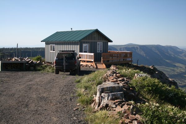
There are about a dozen official trailheads, all of which are remote (check the official map). Typically they occur where a graded road crosses the trail. The only trailhead on a paved road is at Chewaucan Crossing.
Know Before You Go
A topographic map and/or a GPS is highly recommended for route-finding because the trail gets so little usage. Moreover, route-finding difficulties have been exacerbated by damage from wildfires in recent years, with fallen timber blocking and hiding the trail, and some trailheads have even been closed temporarily. Check with the Fremont-Winema National Forest office for current information.
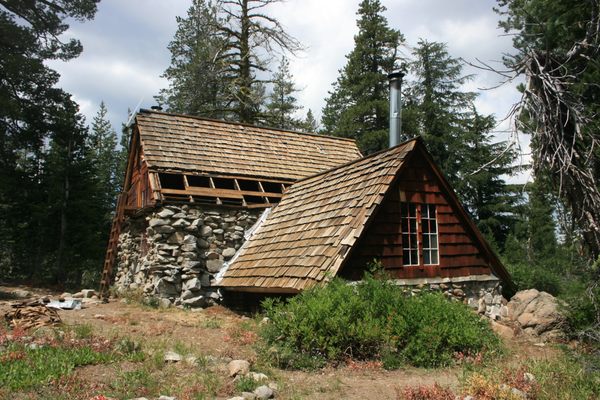
There is little infrastructure in the area. There is fuel in Silver Lake and Summer Lake on Oregon State Route-31, and at Valley Falls at the intersection of Oregon SR-31 and US-395. The village of Paisley, on the Chewaucan River, has food but (as of this writing) no longer has fuel. The nearest full services are in Lakeview, Oregon, some 22 miles south of Valley Falls.


Follow us on Twitter to get the latest on the world's hidden wonders.
Like us on Facebook to get the latest on the world's hidden wonders.
Follow us on Twitter Like us on Facebook